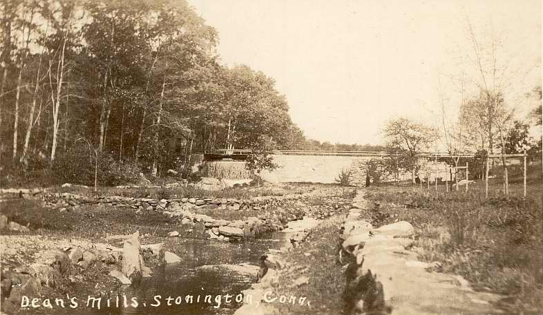
Dean's Mill & the Fulling Mill Dam
[These pages are part of a set of pages about the Quiambaug/Mistuxet Valley
("QB" for short); the main page is http://qb.mindhenge.org/.
The author is Bryan Bentz. Who would love to hear from anyone with
anything to add!]
The main emphasis on this page is on new photographs of the original fulling
mill, a location normally under water. I'd very much like to thank the
anonymous donor who took the photos.
 |
What the area looked like circa 1950; if the falls are
on the left in the picture to the left, this photo doesn't line up too
well with that picture.
|
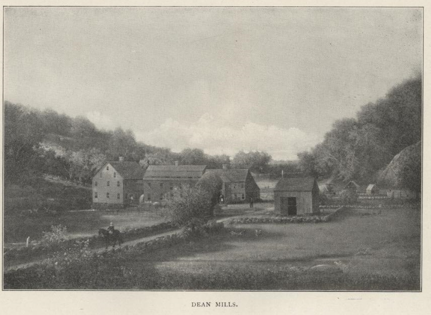
"Dean Mills", image from Wheeler's "Old Homes in
Stonington", pg 34; the house was built in 1700. The large rock on
the right suggests this
is near where the upper dam is now, just north of I-95. The text
of the book introduces this topic by mentioning the lane from
the Stanton's house, which would place this at the upper dam.
After the I-95 construction and various rounds of repair to that dam,
little is left
to match against this image. |
|
Section 5.8 of the main page (qb.mindhenge.org) describes how James Dean of
Taunton came to Stonington, and how his son James Jr. established a fulling
mill:
James
Dean, Jr., did not confine himself to blacksmithing, but learned the business of
fulling and dressing woolen cloth, and for that purpose erected a fulling-mill
on Mistuxet Brook, afterwards known as Dean's Brook, about one-third of the
way from the old post road down to the Dean's Mills. There he
continued both branches of business until his son, John Dean, reached manhood,
when he and his father built a new dam and erected another fulling-mill near his
dwelling-house, where the dam now crosses the brook. After this
arrangement was effected they devoted their time and attention to
cloth-dressing, wool carding, and for the manufacture of cotton and woolen goods
were obtained. ... James Dean continued in business until 1830, when he retired.
The
italicized section is the interesting part. The "old post road"
we now call Pequot Trail, and "Dean's Mills" is, as described above,
at the "upper dam" just north of I-95. This places the original
fulling mill 2/3 of the way between them. Recently I received a number of
photographs of this location, only possible because of an extensive
drought.
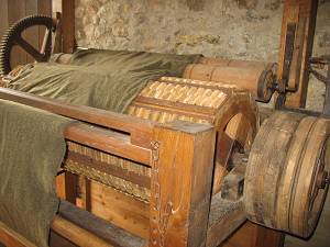
"Fulling"
was a process of working cloth to make it cleaner and thicker (see, for
instance, https://en.wikipedia.org/wiki/Fulling).
Water power was used to operate the hammers that beat the cloth. For an
example of what the archaeology of a fulling mill site looks like, visit https://uplandpete.wordpress.com/tag/fulling-mill/.
An example of the one type of machinery that might have been present (this from
Cugand, France):
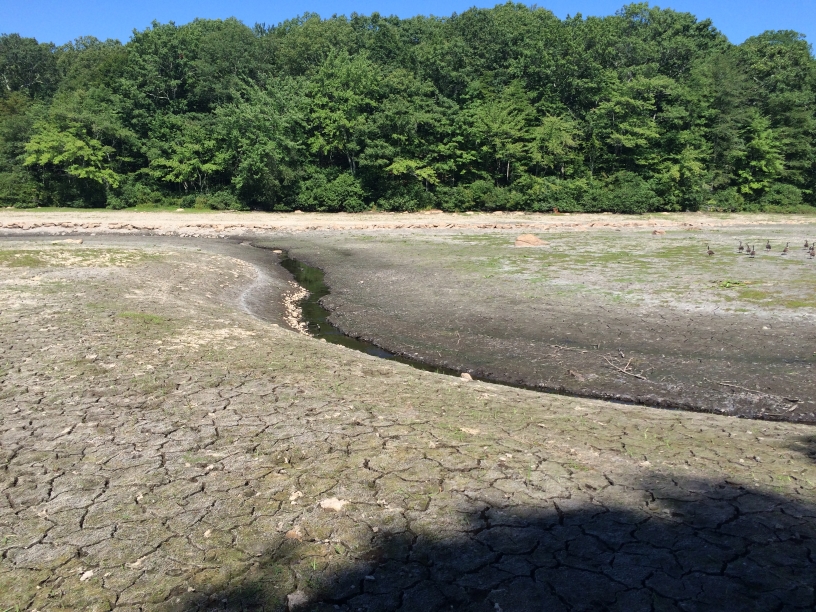
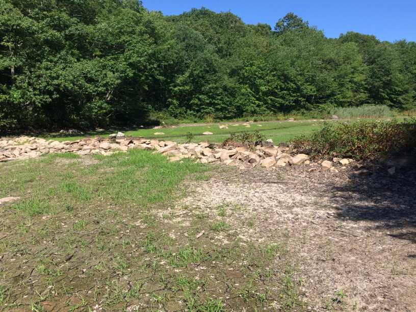
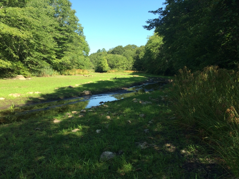
The
first fulling mill site is now normally underwater. Sometime during the
summer a contributor visited the area when a drought had reduced the water level
to nearly zero - probably close to what it looked like before any dams were
built. Here are some of the photographs I received. Each has an
associated lat/lon, which you may use to plot the location on Google Earth or
similar viewer. (I extracted the location using the embedded EXIF data; the
website regex.info/exif.cgi, "Jeffrey's Image Metadata Viewer", was
very helpful for figuring out exactly where these were taken.)
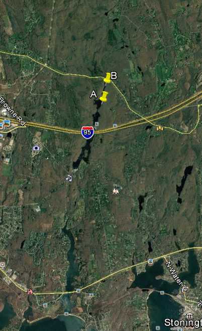
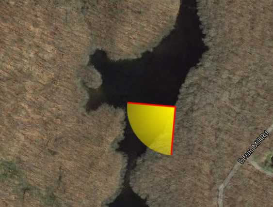
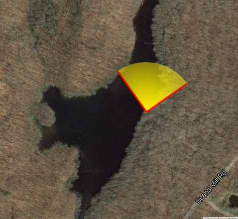
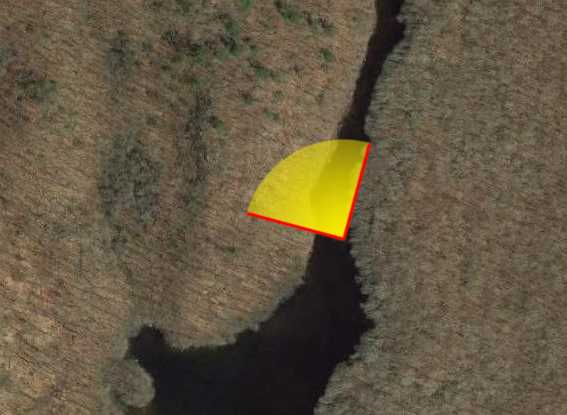
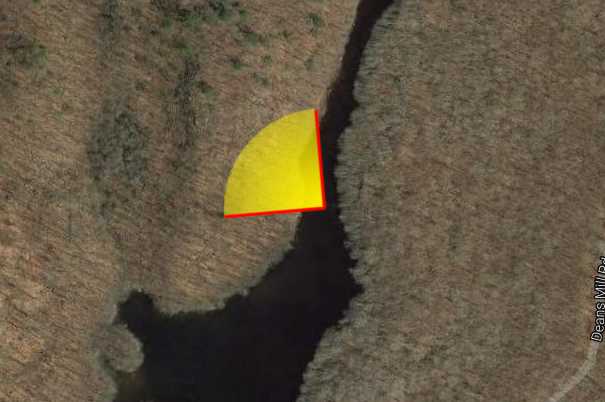
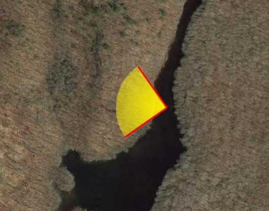
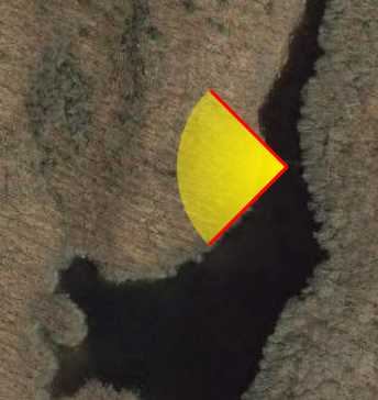
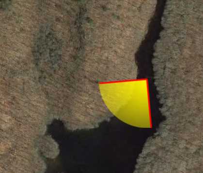
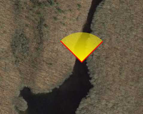
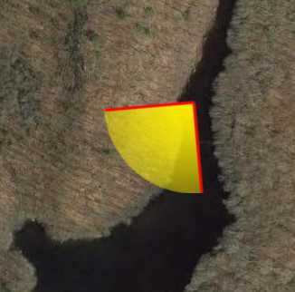
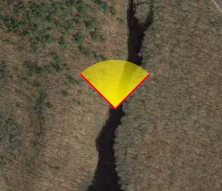
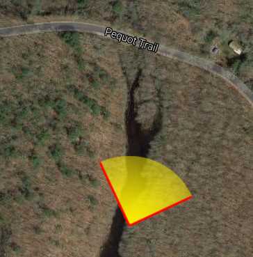
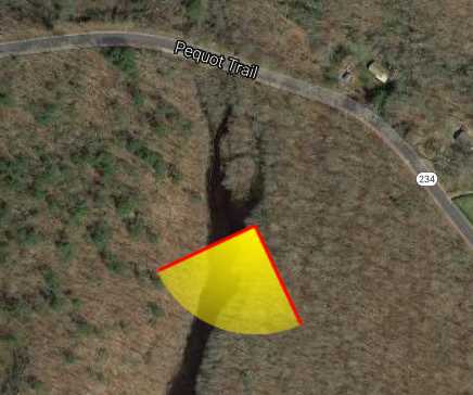
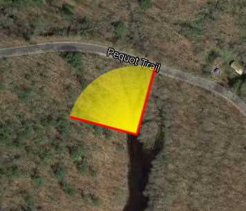
The
photos appear to have been taken in late August 2016. My guess is that the
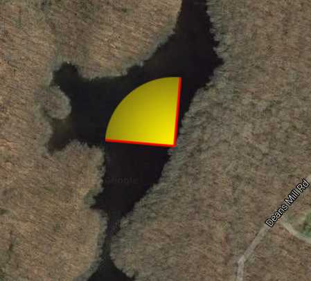
photographer traveled roughly from point A to point B in this map:
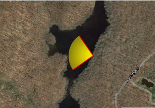
 |
Click for a bigger
image |
Clicking
on any of the photos below will bring up a full-resolution version.
| Photo |
Notes |
Location (Lat, Lon, map of field of view) |
 |
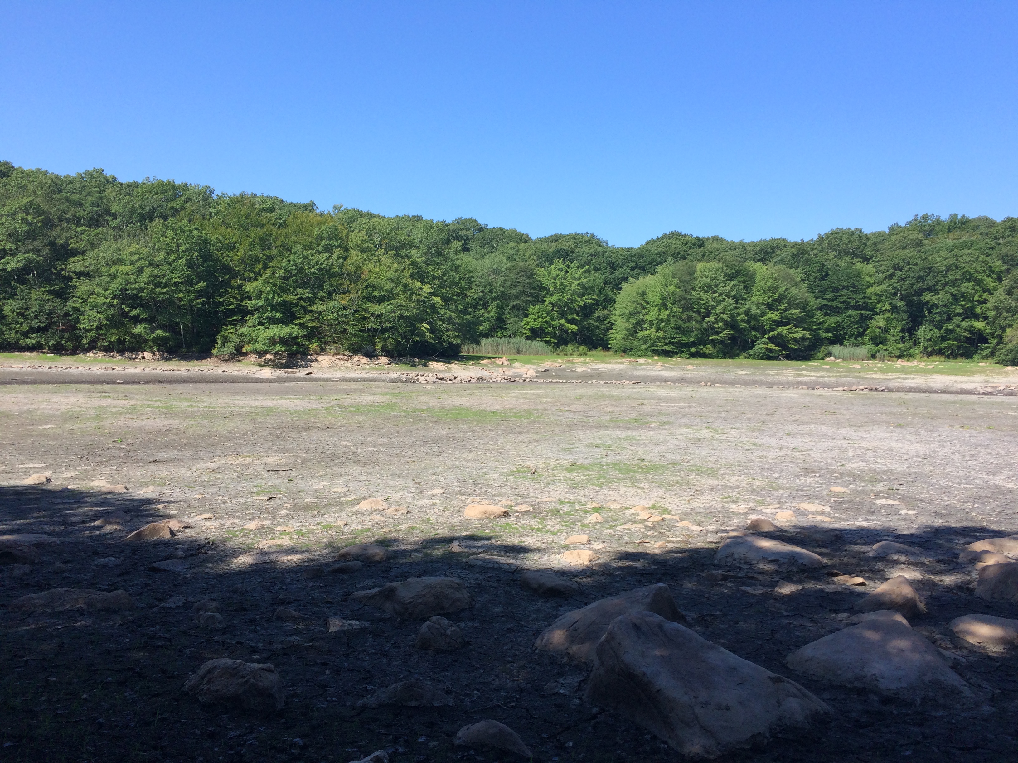
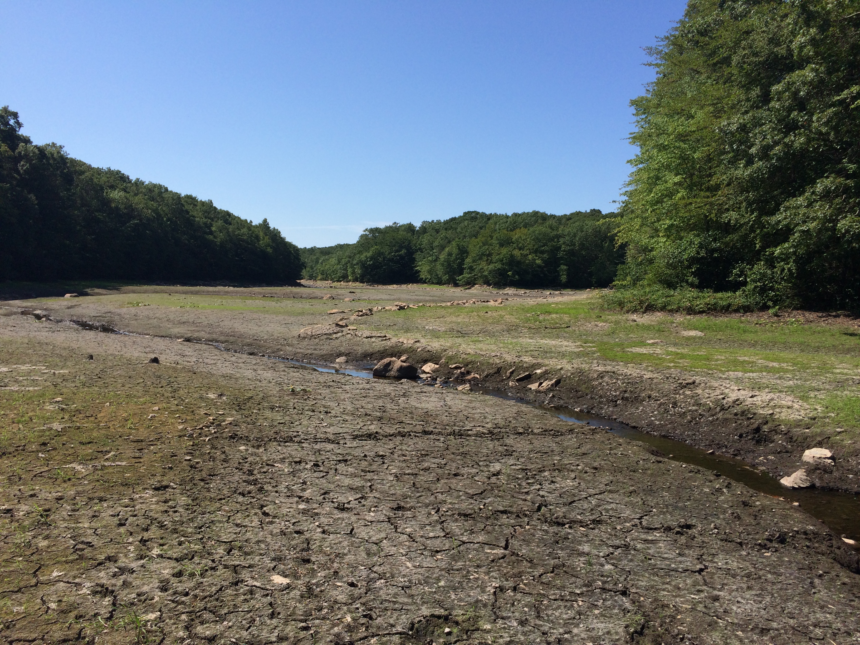
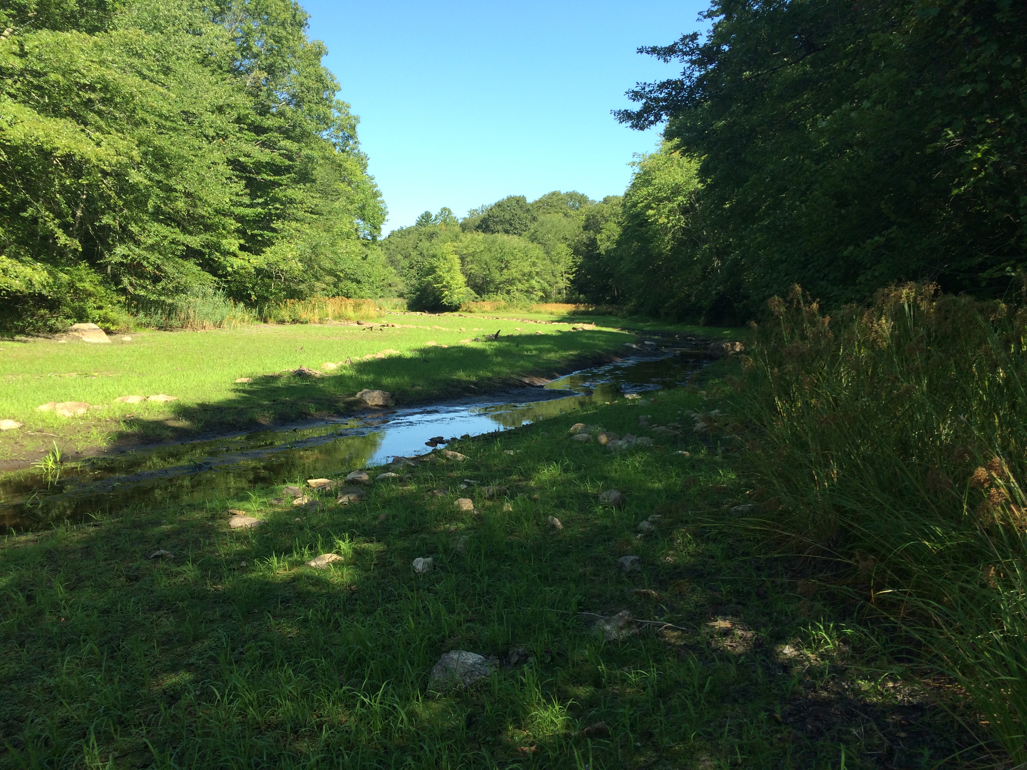
Looking across the floor of the valley.
This of course is normally entirely
underwater. The remaining channel
is visible at the far side of the valley
floor. |
41.377483,
-71.928567
|
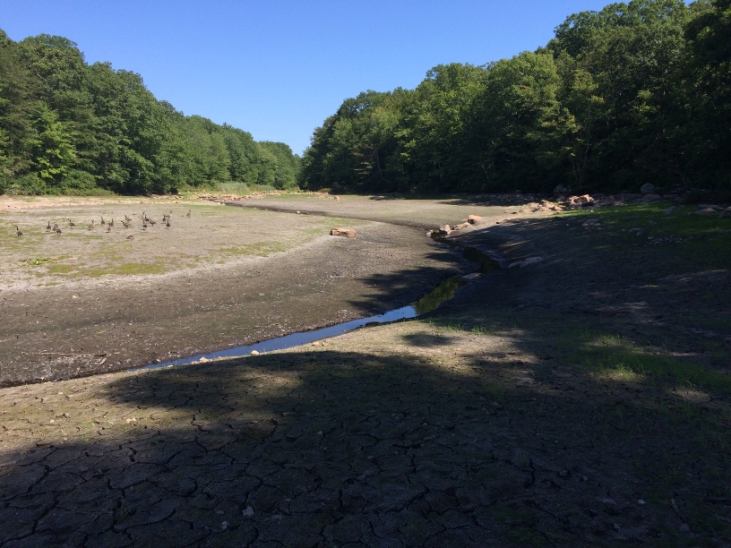
 |
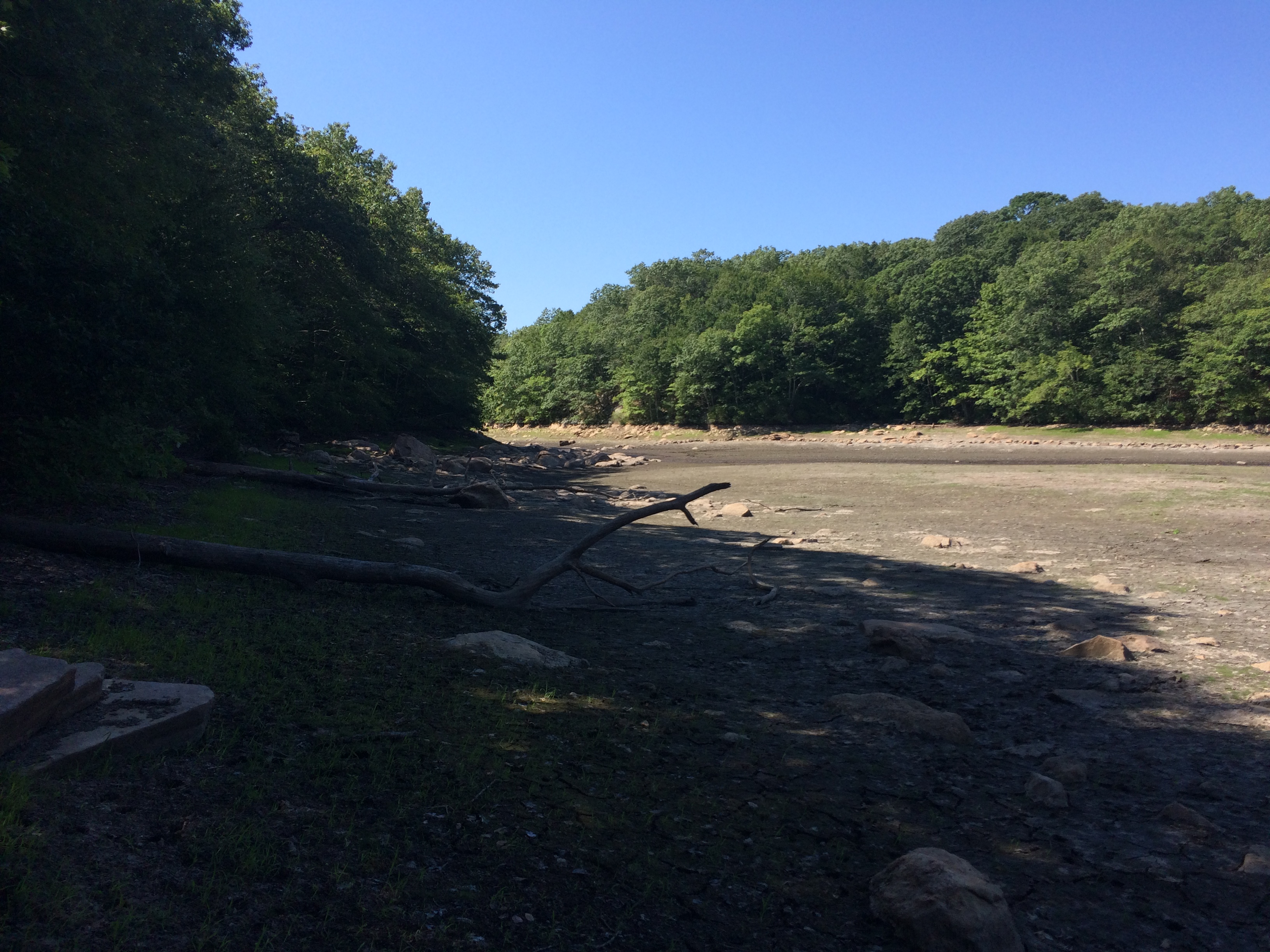
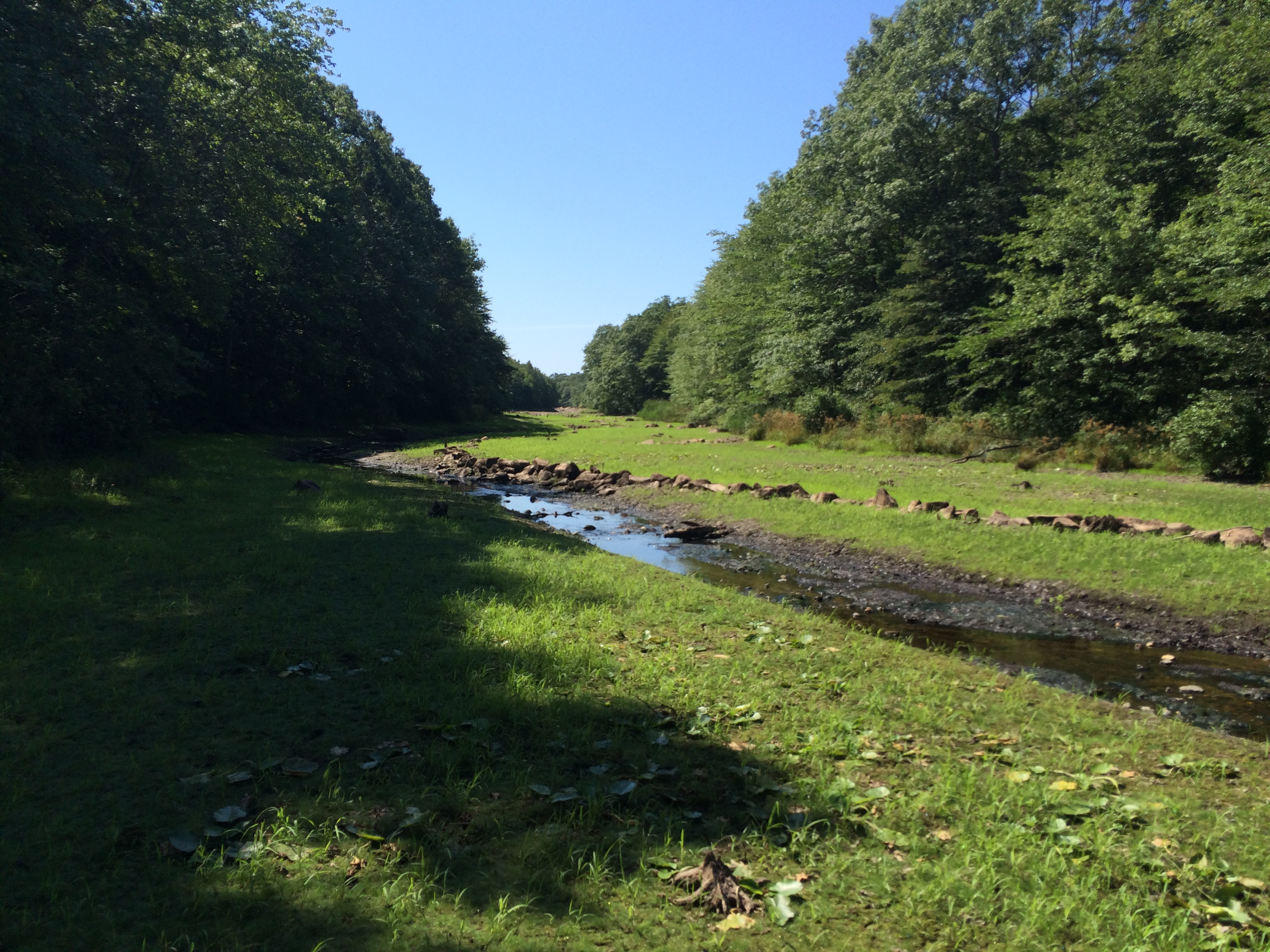
Looking south from the roughly the
same location. The valley narrows
quite a bit, then opens out again as
it nears the Upper Dam. |
41.377544,
-71.928567
|
 |
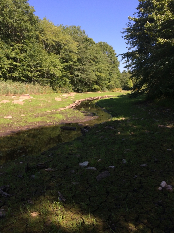
Basically from the same general spot,
this time looking at the channel - this
turns out to be the channel just south
of the dam. It looks like there's a
stone wall on the far side of the
channel; this is visible in the photo
above too. |
41.377536,
-71.928581
|
 |
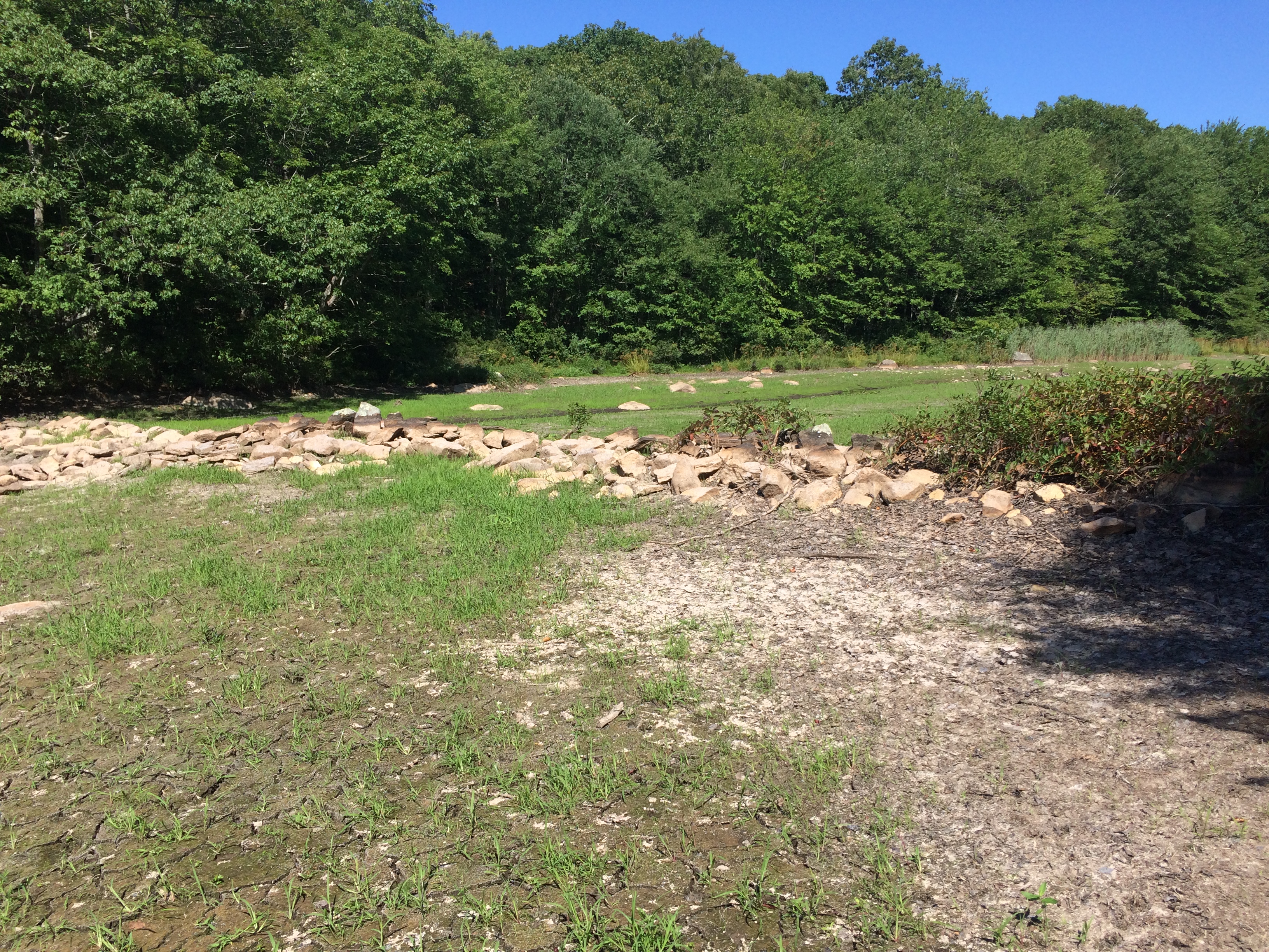
If you were looking at the scene
above, and turned to the right,
this is what you'd see. You can
see the dam as a horizontal band
of tan stone that the channel
disappears into. |
41.378083,
-71.928231
|
 |
Approaching the dam, from the
eastern side. The channel runs
along the western side; it is visible
north of the dam in this shot. Note
the soil level to the south of the
dam - I would guess that this is
due to silting since the dam has
been submerged. |
41.379208,
-71.928161
|
 |
From about the midpoint of the dam,
looking west at the channel. In the
immediate foreground it looks like
there's a wall running north/south
(that is, in the same direction as the
channel). The stonework looks
quite crude - though some of the
stones may have been fitted. They
also appear to have the same color
and perhaps size - either because
they were from one location, or
because being submerged has
affected the surface color. I can't
tell from the photo if the stones
were cut, or fitted based on their
natural shapes. |
41.379167,
-71.928253
|
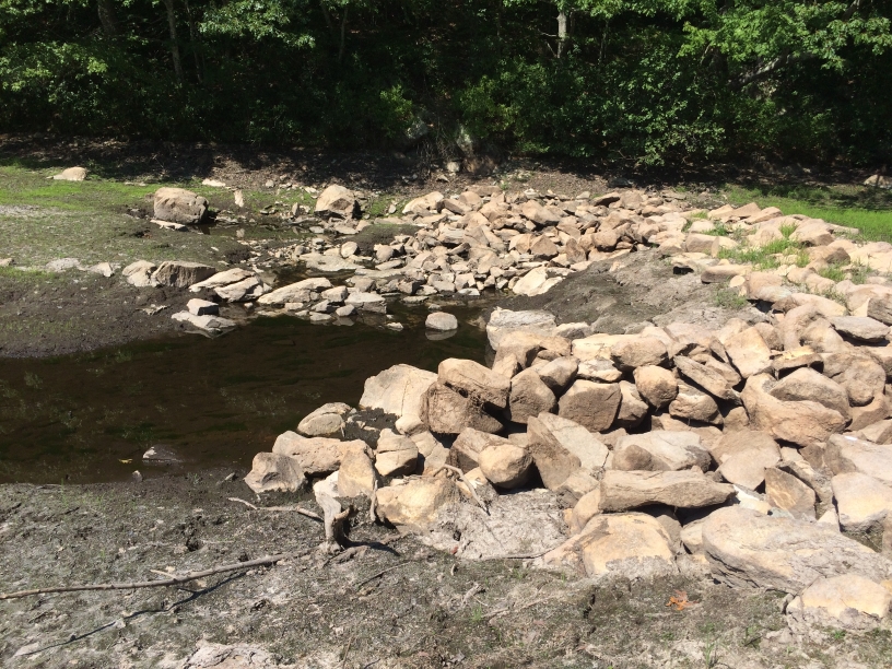 |
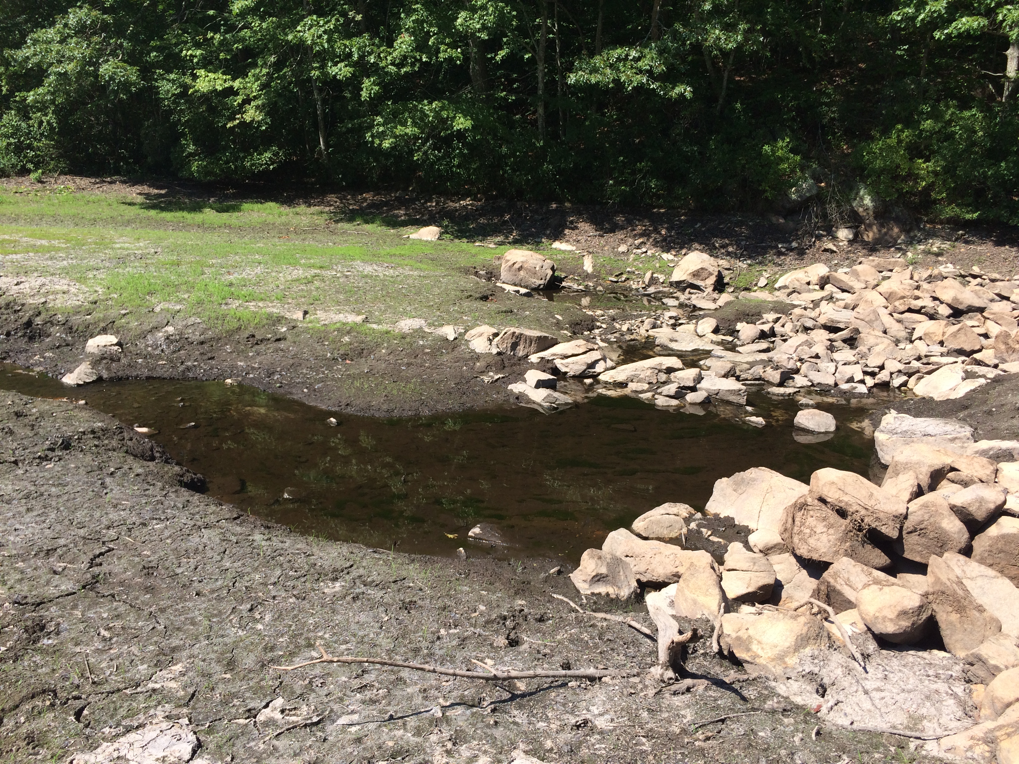
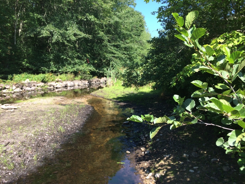
The "downstream" side of the dam.
The stone wall paralleling the
channel just ends. It does indeed
look like a mess. I wonder if, when
the Deans opened the downstream
mill, they breached/destroyed this
dam as much as they could.
It occurred to me that it's quite
possible that significant amounts of
lumber may have been used in the
original structures; the removal of
that, through fire, rot, or reuse,
might be responsible for some of
the apparent disorder of the stones. |
41.379167,
-71.928253
|
 |
Just to the left of the photo above,
showing the channel south of the
dam. Note the stone wall on the
far side of the channel, mostly
buried, but perhaps intended
to edge the channel there.
|
41.379161,
-71.928244
|
 |
Looking south from the dam location.
The channel and gap to the south
shown earlier are visible. It
seems like there is a stone wall
curving into about the middle of
the photo, then heading west. It's
possible that was to allow an
access road on that side of the
valley. |
41.379161,
-71.928253
|
 |
Looking north over the dam. The
stream/channel is to the left. Pequot
Trail is to the north, in the trees. |
41.379156,
-71.928253
|
 |
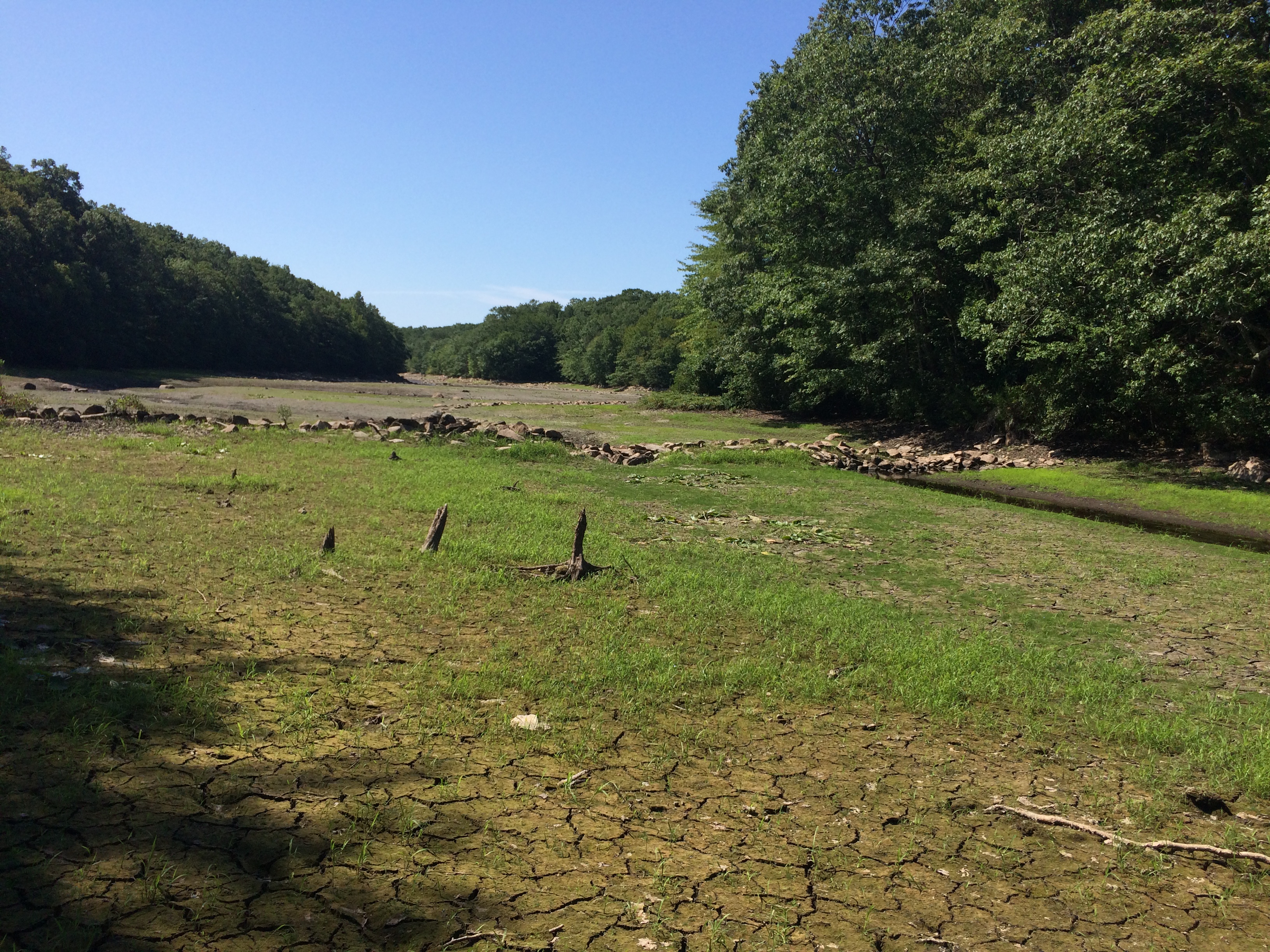
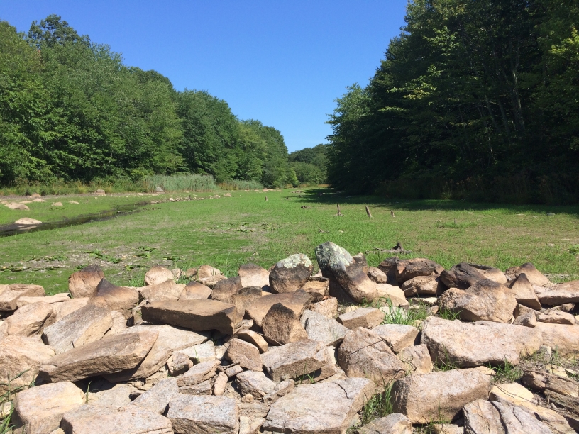
Looking south from north of the
dam; the dam is visible in the middle
of the picture, over the three tree
stumps. It's interesting how uneven
it is - dams usually are flat. It may
be that the stones have settled over
the centuries, or that the dam was
partially knocked down when the
new dam (now the Upper Dam near
I-95) was built. |
41.379547,
-71.928322
|
 |
Looking further north along the
stream to the north of the dam.
Pequot Trail is in the far trees.
Note the stone edge wall on the
left (west) side of the channel. |
41.380086,
-71.928086
|
 |
A bit further north. It looks like
there's an east/west stone wall
across the stream, above the
midpoint of the picture, but I can't
be sure. |
41.380383,
-71.927764
|
 |
Looking south from the north end
of the valley, close to Pequot Trail. |
41.381297,
-71.927353
|
 |
Looking north towards Pequot
Trail. The stonework along the
far (west) side of the stream seems
deliberate. |
41.381672,
-71.927697
|
 |
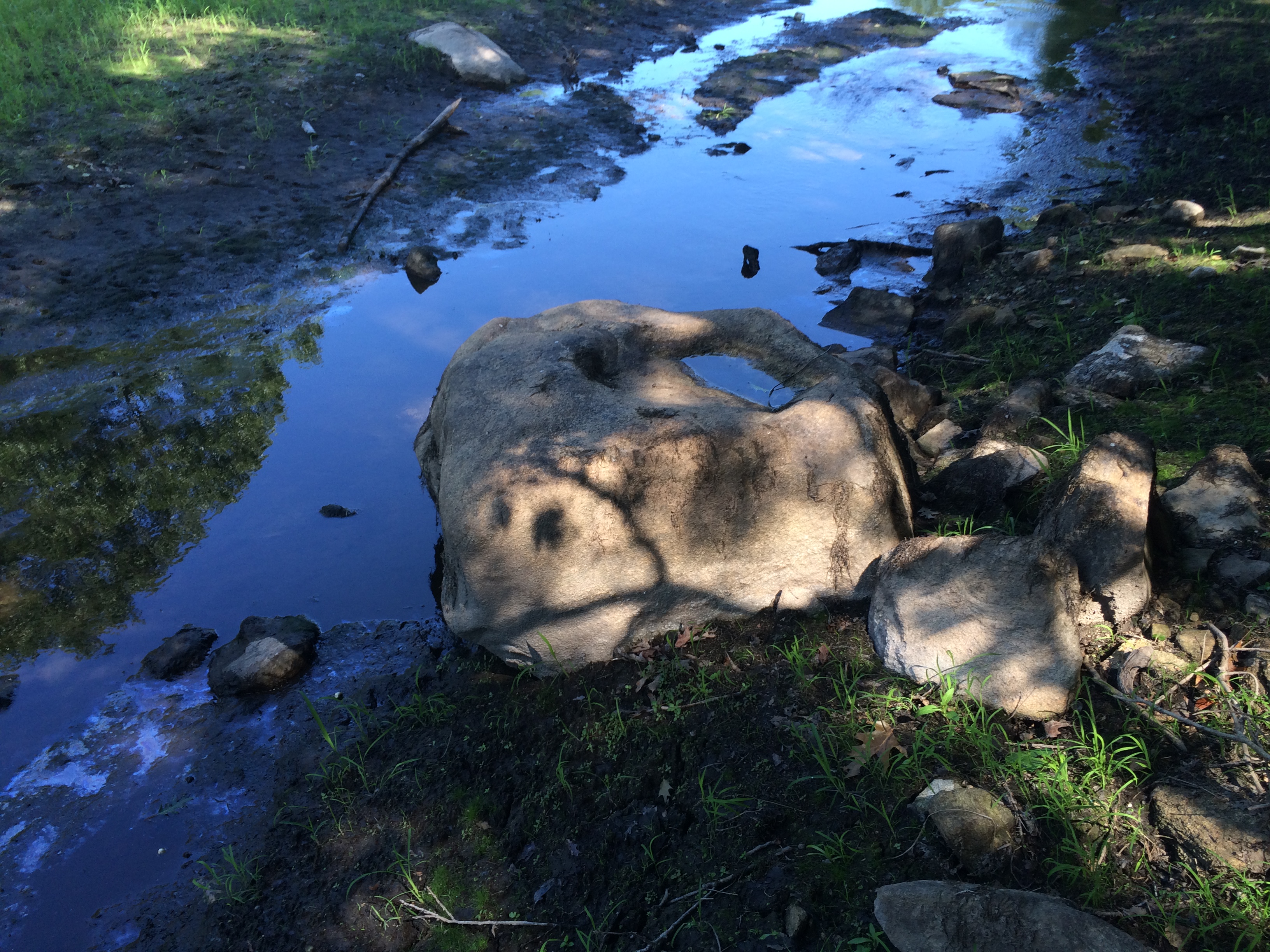
A "taugwonk" a stone used for
grinding corn, spotted along the
route. |
|